Historic Landscape
Characterisation
The Gwent Levels
06 Redwick/Magor/Undy
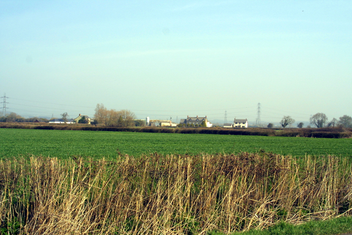
06 Redwick/Magor/Undy character area: complex "irregular
landscape" with some dispersed settlement.
(Photo: GGAT Gwent Levels 026)
Click here for a character area map
As elsewhere, this "irregular landscape" results from gradual enclosure and reclamation, probably between the eleventh and fourteenth centuries. The enclosure of street commons in the nineteenth century marked an important period of alteration.
Very important prehistoric, Roman and medieval sites are known in the intertidal zone; such evidence is likely to continue inland under later alluvium.
A range of good documentation exists for the area, including references to a medieval port and mill, called "Abergwaitha", lies near the Sewage Works.
Key historic landscape characteristics
Irregular field pattern of small fields (includes some regular areas),
drainage features (reens, surface drainage) include major medieval reens,
seawall includes relict sea wall (SAM)
An Area of higher coastal land. Windmill Reen and Broadmead to the west (area 7); Ynys Mead Reen (area 8), Lower Grange (area 10) and the fen-edge to the north; Collister Pill/Caldicot Moor (area 11) to the east.
This diverse landscape has pattern of small irregular fields like area 1. Undy Common has a "regular landscape" resulting from nineteenth century enclosure.
There is a range of other features, including some fine bridges. West of Magor Pill the sea wall is rubble faced with a wave return wall: to the east it is a simple earthen bank with dressed stone facing. The wall sits uncomfortably over the landscape creating a series of triangular fields. A well-preserved relict sea wall runs along Collister pill (a Scheduled Ancient Monument) - There are a number of major medieval reens (e.g. Windmill and Coldharbour) and the embanked Mill Reen.
This is a typical and mainly well-preserved example of "irregular landscape", with great diversity or elements. Redwick viIlage stands at the centre, while Mill Reen and the Collister Pill relict sea wall are other focal (if linear) features.
Most areas have a mixture of scrubby and cut hedges; south of Redwick village they are more wooded. Around Coldharbour Pill, north of Redwick village and the south east of Undy have seen many fields enlarged and hedges well cut.
Overall, both integrity and coherence of the landscape are high. While
some areas have suffered from agricultural improvements, otherwise its
condition is good; there are few intrusive modern buildings. Some fine
ridging, especially to the south of Redwick village and in Undy.